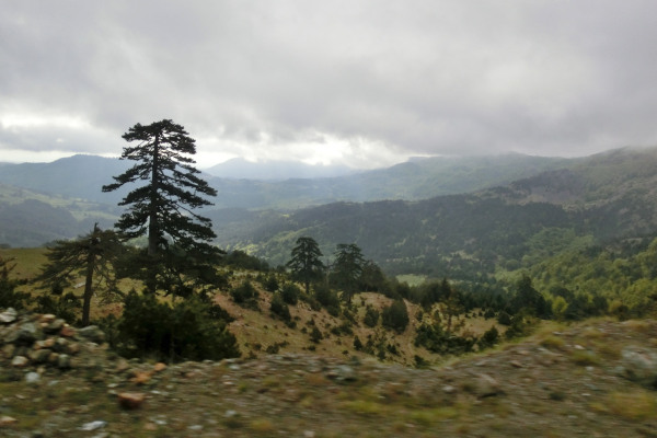
Pindos National Park is a dense vegetated and remote area on the borders of the prefectures of Grevena and Ioannina in northwest Greece. It is mainly known as "Valia Kalda" which in Vlach language means warm valley, while it includes villages like Vovousa, Perivoli, Krania of Grevena, and Milea of Grevena.
What is the size of the Pindos National Park?
The total area of the park is 68,990 acres and apart from Valia Kalda which gives its name to the whole forest, it includes the valley of Arkoudorema, the mountains Lygkos and Mavrovouni, torrents, lakes, many steep cliffs, and dense forests.
Valia Kalda is one of the last natural habitats of the brown bear, the wolf and the wild goat. The flora consists mainly of black pines and robola (type of pine). There are many species of animals that live in the forest, some of which are protected or even endangered, while two very rare species of trout live in the rivers.Routes in Valia Kalda
If you are interested in visiting and walking the forest, there are five paths with specific routes. More specifically:
- ROUTE 1: "Stavros" of Valia Kalda- Zioga peak- Beginning of Arkoudorema.
- ROUTE 2: "Stavros" of Valia Kalda- Arkoudorema- Vovousa (can also be hiked the other way round).
- ROUTE 3: Valia Kalda Valley - beginning of Arkoudorema.
- ROUTE 4: Arkoudorema- Flegka Lakes- Flegka Peak.
- ROUTE 5: Lake Aoos- Mountain refuge- Peak of Flega- Lakes of Flegka- Arkoudorema.
The forest hosts two mountain shelters, one in Mavrovouni at Kokkini Vrysi and one in Vovousa at Lariani. High in Valia Kalda, below the Flegka peak, there are two lakes (Drakolimnes) located at an altitude of 1960 meters.