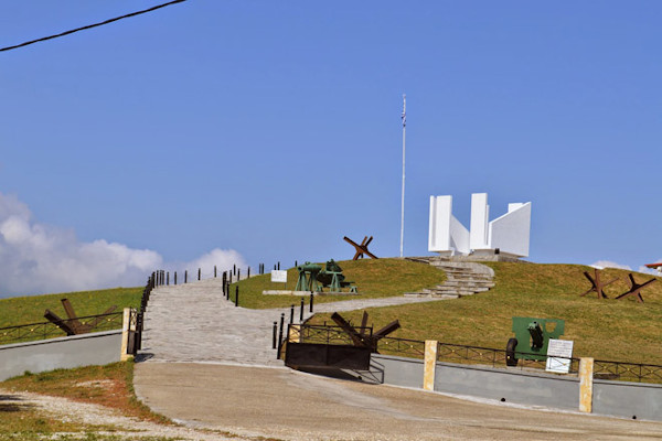
The Rupel fortification is located between the mountains Agkistro and Beles, very close to the Greek-Bulgarian borders. It is the largest complex of fortified area, along the Greek-Bulgarian borders, also known as "Metaxas Line", with a total length of 1.849 meters (6066 feet) of shelters and 4.251 meters (13946 feet) long arcades and passageways.
It is a truly strategic location that controls perfectly the communication with the valley of the River Strymon. Roupel is one of the 21 forts of "Metaxas Line" that was aiming to defend Greece in case of an attack. It was involved both in the First and the Second World Wars, while in 1941 was a part of the heroic and successful defense of the Greek army to the Nazi power until other parts of Greece had been conquered.
Today it is open to visitors who can visit the galleries of the fort, a small museum, the observatory, and the memorial on the top of the hill. Along the fort arcades, the visitor can see some representations of various moments of Greek soldiers inside the fortification: the gunner, the doctor who is treating an injured person, the office of a captain, etc. At the pavilion, there are original uniforms, medals and photographs depicting the battles of 1941. There is also available screenings at the auditorium where more details are availabble about the battles of the fortress.
